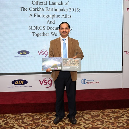
‘Gorkha Earthquake 2015: photographic atlas’ released; Research on reconstruction of Dharahara complete
 Kathmandu / March 31: A pictorial book on the theme of earthquake has been released.
The book titled Gorkha Earthquake 2015: A Photographic Atlas tries to describe how earthquakes occur and how earth remains active in a time of quakes, with the help of pictures.
Center for Disaster and Climate Change Studies published the book with the financial and technical assistance of VSO, an international non-government organisation.
The book gives information relating to the process of earthquake, its various phases, damages caused by the 2015 April earthquake (Gorkha quake), rescue efforts and stories of the survivors.
The 152-page book is a collaborative work of geologist Dr Deepak Chamalagain and photographer Laxmi Prasad Nakhusi.
National Reconstruction Authority (NRA) Executive Director Prof Dr Govinda Pokhrel launched the book amidst a programme today in Lalitpur.
Research on reconstruction of Dharahara complete
Meanwhile, the Department of Archeology (DoA) has estimated the reconstruction of the Dharahara landmark at Rs 2.80 billion.
A research report on the reconstruction of the landmark shows that its location will be spread over 42 ropanis of land with the tower itself standing 245 feet. There will be a garden and an underground parking for the visitors.
Department’s Director General Bhesh Narayan Dahal said the report will be presented to the Nepal Telecom within a week. The Telecom will build the tower based on the report. RSS
