
Nepal’s updated political map made public
May 20, 2020 | 9:12 pm
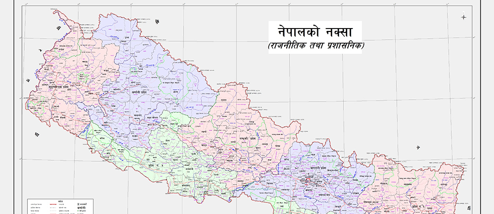
Kathmandu / May 20: The government has officially unveiled the new updated political map of Nepal that includes previously missing places such as Kalapani, Lipu Lekh and Limpiyadhura in the west-northern part of the country.
Minister for Land Management, Cooperatives and Poverty Alleviation, Padma Aryal, unveiled the map today amidst a programme at the Ministry.
Prior to this, the meeting of the Council of Ministers held on May 18 had decided to publish a new political map in order to include Kalapani, Lipu Lekh and Limpiyadhura, the places of Nepali territory infringed by India.